Android app · Education
World Countries Info & Atlas
World Countries Info & Atlas is a free offline world atlas and country information app for Android. It holds a complete fact sheet for more than 220 countries and territories — flag, capital, population, currency, languages, time zone, dialling code, ISO codes and land borders — and adds something no other country app has: a direct route from each country's profile to that country's own newspapers, TV channels and radio stations.
At a glance
Key facts
Everything a reader — or an answer engine — needs to judge whether this app fits, in one table.
| App name | World Countries Info & Atlas |
|---|---|
| Also known as | World Countries Info & Quiz, World Countries App |
| What it is | An offline country reference and atlas. Each country has a structured fact sheet, and each fact sheet links out to that country's map, Wikipedia article, news, newspapers, magazines, TV, radio and travel guides. |
| Platform | Android phones and tablets |
| Price | Free to install. No subscription and no in‑app purchase. The app is supported by ads. |
| Account required | No. There is no sign‑up, login or email address to give. |
| Countries covered | More than 220 countries and territories, browsable by continent |
| Facts per country | 14 structured fields, from native name and capital to demonym, currency and calling code |
| Works offline | Yes. The country database and the quiz run with no connection. News, maps, radio, video and Wikipedia need one. |
| Quiz | Capital city quiz — 10 timed questions per round, with a scoreboard recording best score, average score and every past attempt |
| Media per country | Street map, travel guide, YouTube, newspapers, magazines, TV channels, radio stations, ISPs and live TV |
| Data collection | No personal data collected and no data shared with third parties, as declared in the Play Data safety section |
| Content rating | Everyone |
| Store category | Education |
| Publisher | News Media Lists — newsmedialists.com |
| Play rating | 4.3 out of 5 from 36 ratings, 5,000+ downloads |
| Last store update | 22 March 2026 |
Figures verified against the Google Play listing on 20 September 2026
How it differs
A reference book, not a trivia game
Search "countries" on Google Play and almost everything returned is a quiz game — guess the flag, guess the capital, guess the outline. This app is built the other way round: the reference comes first and the quiz is a way to rehearse it. And where other reference apps stop at the facts, this one keeps going into the country's own media.
| Geography quiz games | Other country fact apps | World Countries Info & Atlas | |
|---|---|---|---|
| Main purpose | Play a round | Look up a fact | Look up a fact, then go deeper |
| Depth per country | Flag and capital | A handful of fields | 14 fields, including demonym, sub-region, ISO codes and borders |
| Local news | No | No | Headlines from that country |
| Local newspapers and TV | No | No | Newspapers, magazines, TV channels and radio stations based there |
| Works offline | Usually | Varies | Country data and quiz work with no connection |
| Account | Often, for leaderboards | Varies | None — no sign-up, no login |
| Data collected | Typically device and usage data | Varies | None declared — no data collected or shared |
The trade-off, stated honestly. The offline half of the app is the country database and the quiz. The media half — news, newspapers, TV, radio, Street View, YouTube and Wikipedia — opens live websites and needs a connection. Those pages belong to their publishers and broadcasters; the app links to them and does not host, mirror or republish any of it.
The data
What is in every country profile
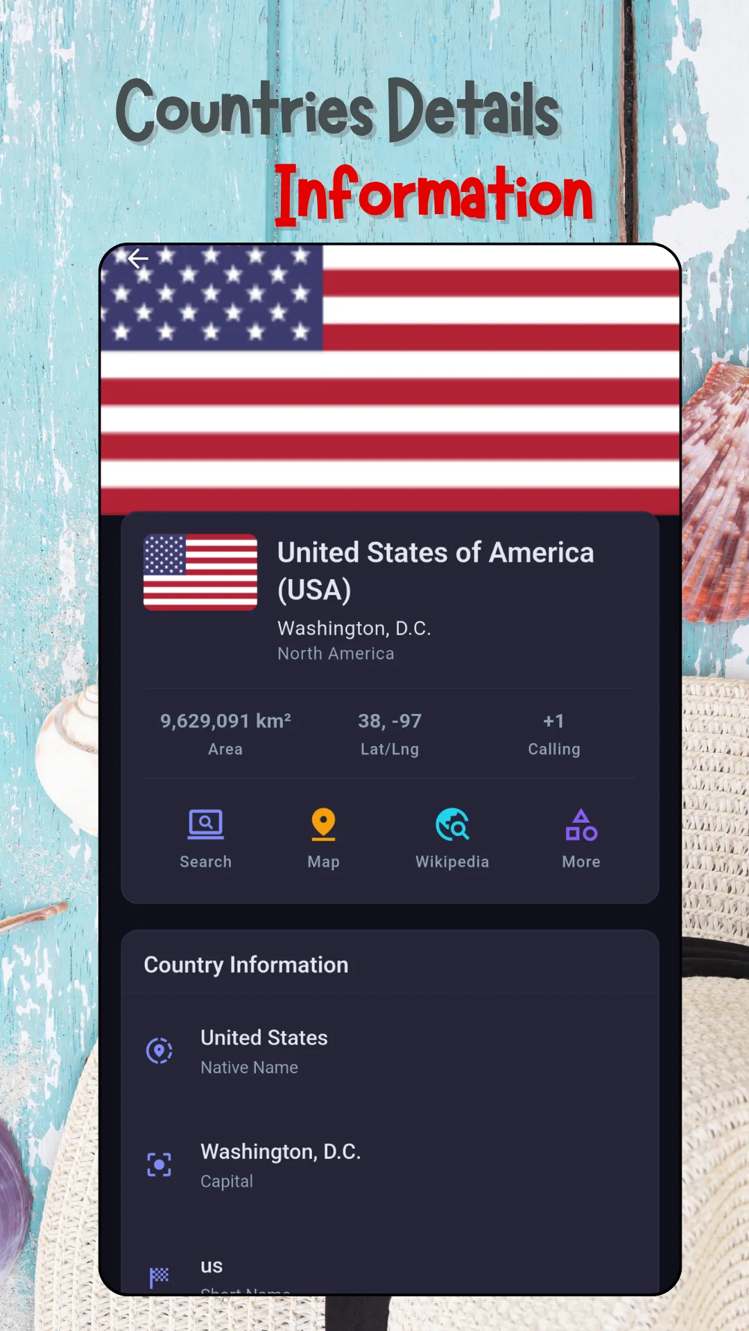
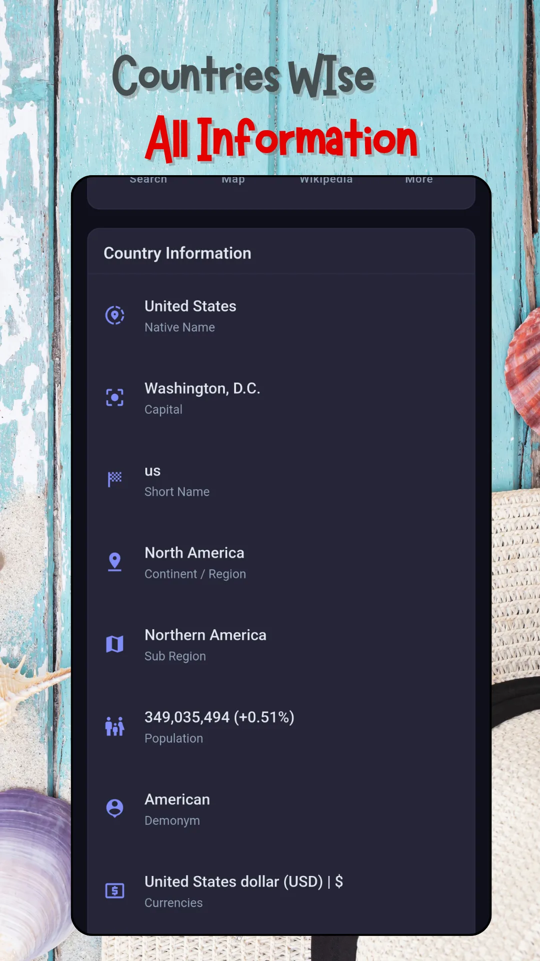
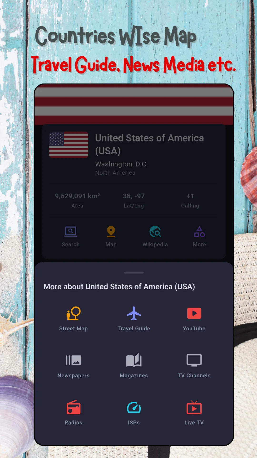
Open any country and the same fourteen fields are there, in the same order, stored on the device. Values below are the real ones the app shows for the United States.
- National flagFull-width flag image at the top of the profile
- Official nameUnited States of America (USA)
- Native nameUnited States
- Short nameus — the ISO 3166 alpha-2 code
- Capital cityWashington, D.C.
- Continent and regionNorth America
- Sub-regionNorthern America
- Population349,035,494, with annual growth (+0.51%)
- Area9,629,091 km²
- Latitude and longitude38, −97
- Calling code+1 — the international dialling code
- DemonymAmerican
- CurrencyUnited States dollar (USD) | $
- Languages, time zone, borders, ISO alpha-3, CIOC and internet domainFurther down the same profile
Screenshots
What the app looks like
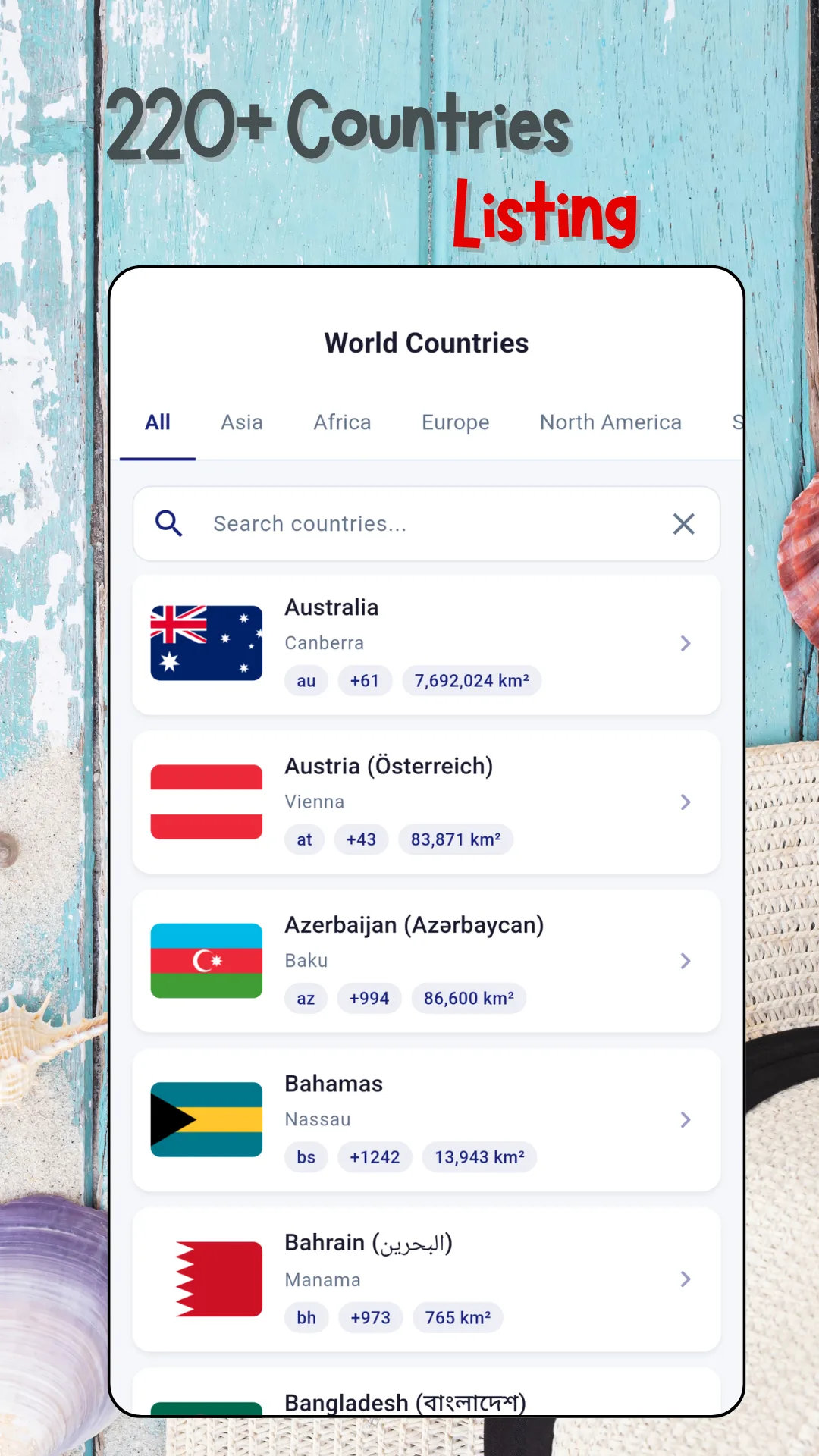
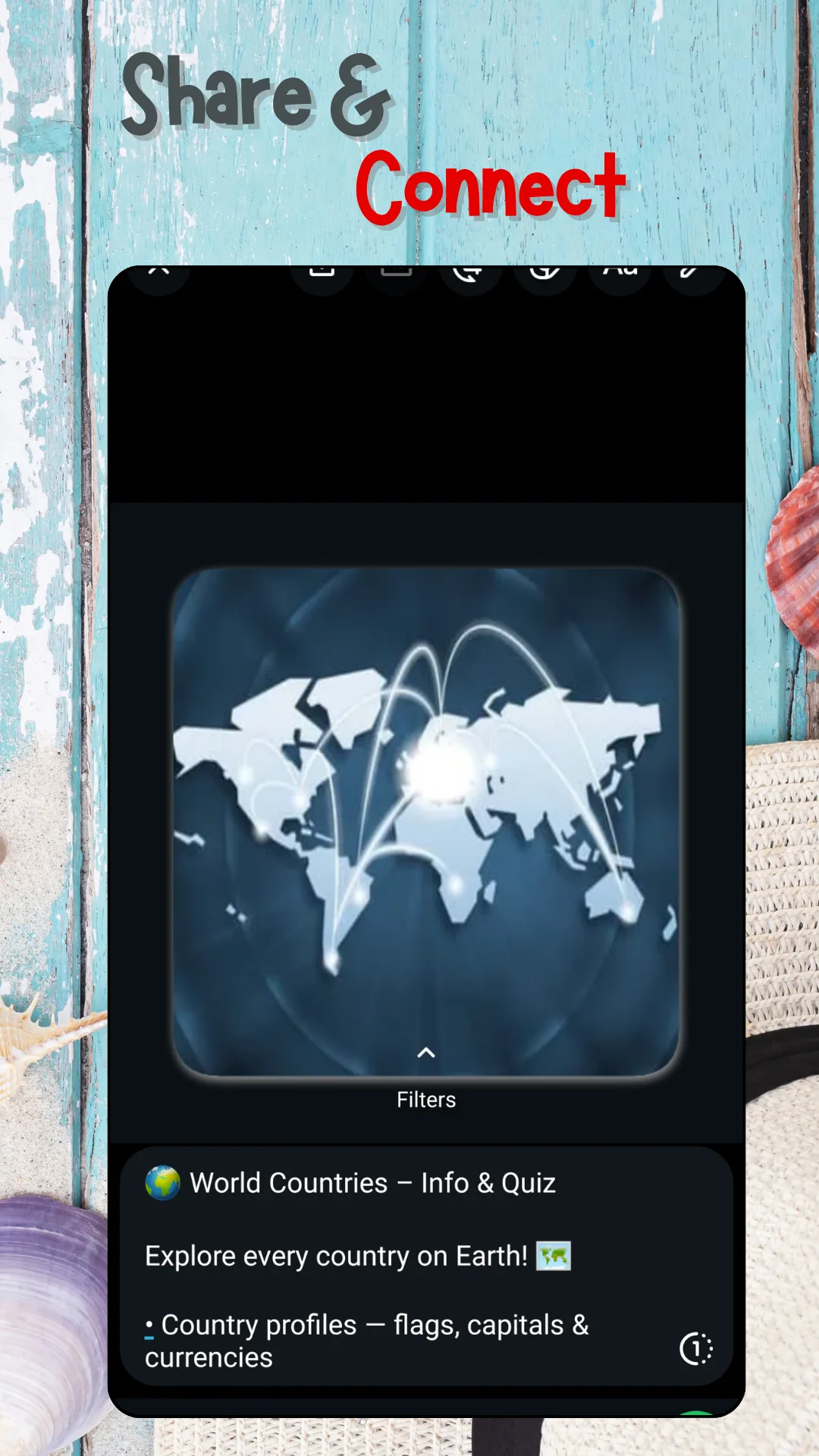
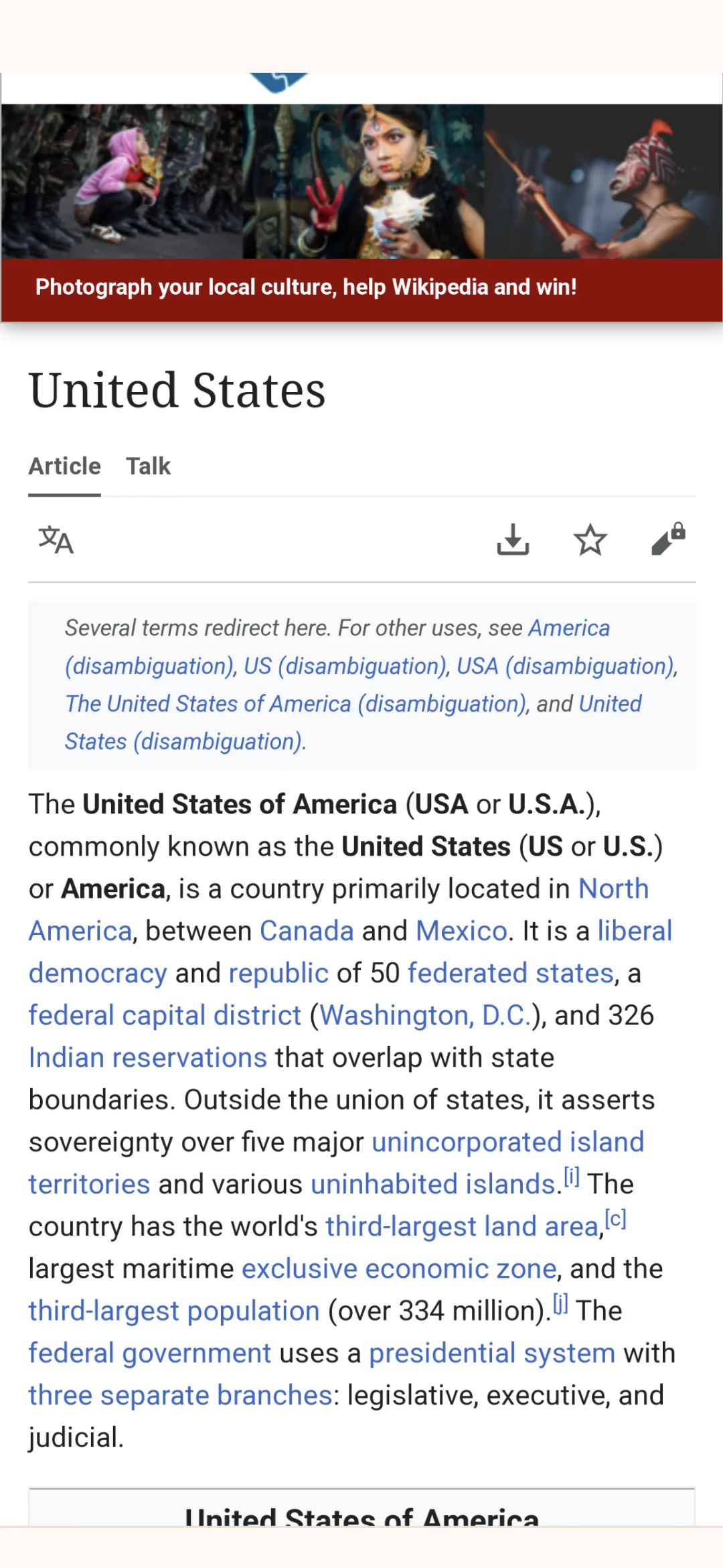
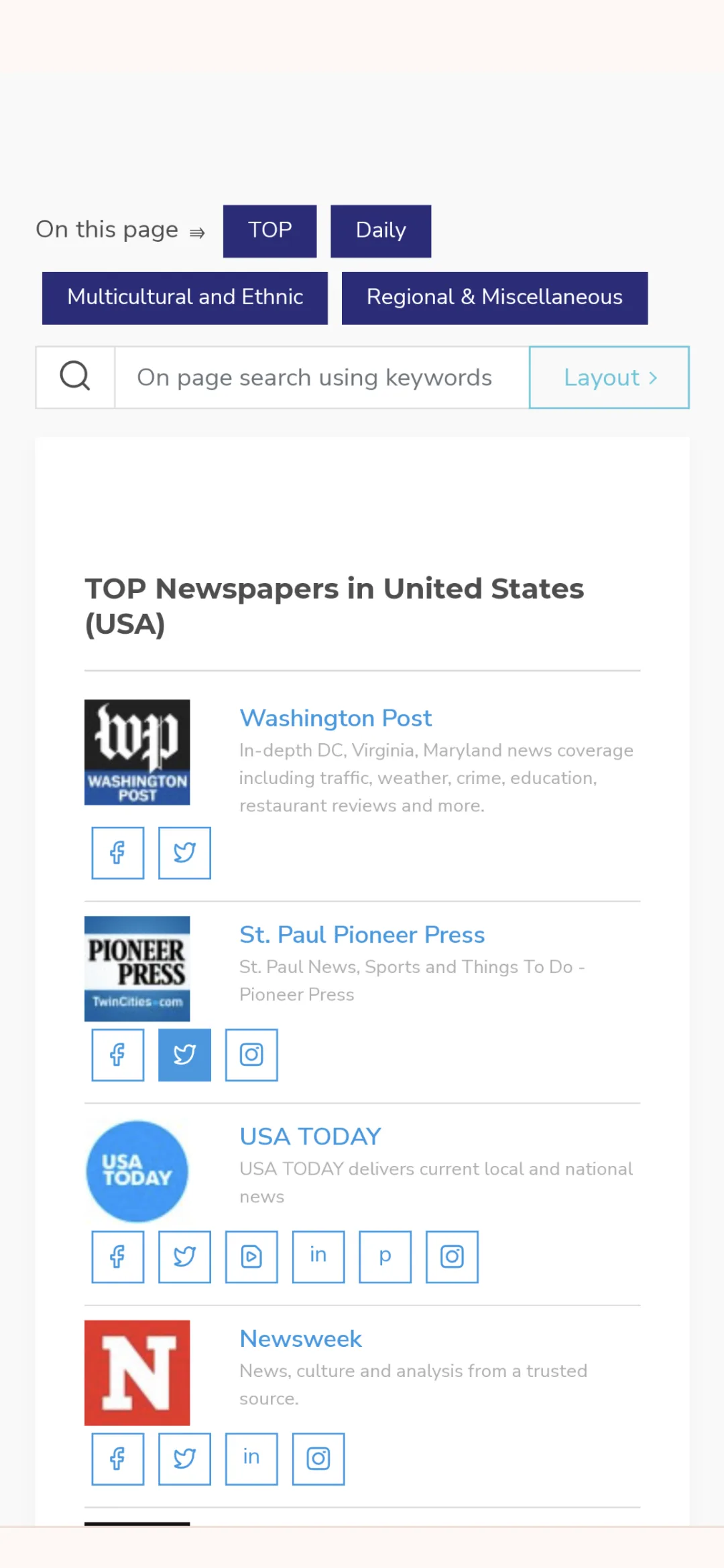
Ten screens from the current release, in the order they appear on Google Play.
Features
What the app does
Nothing to configure, nothing to sign up for. The app opens on the list of countries.
Browse by continent
Asia, Africa, Europe, North America, South America, Australia and Oceania, and Antarctica — each with its own tab on the main list.
Search any country
Type a few letters and jump straight to a country, in English or in its native name.
Fourteen facts per country
Flag, official and native name, capital, region, sub-region, population, area, coordinates, calling code, demonym, currency, languages, borders and ISO codes.
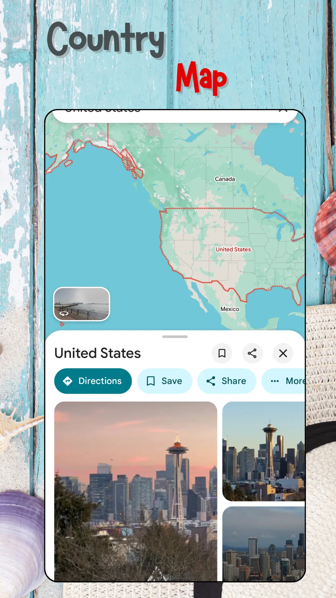
Country location on the map
See a country's borders drawn on the map, with photographs of its cities and a route into Street View.
Capital city quiz
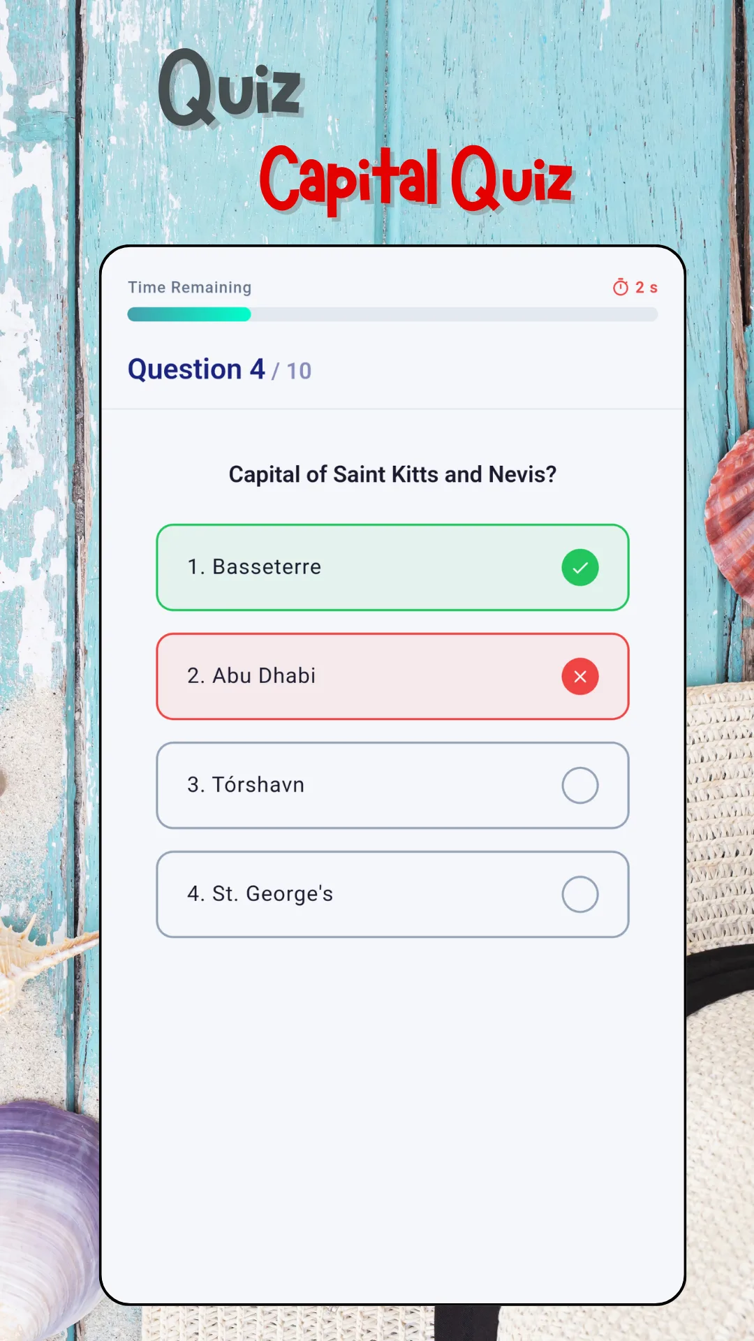
Ten timed questions a round, marked as you answer, drawn from every country in the database — including the ones people always forget.
Scoreboard and history
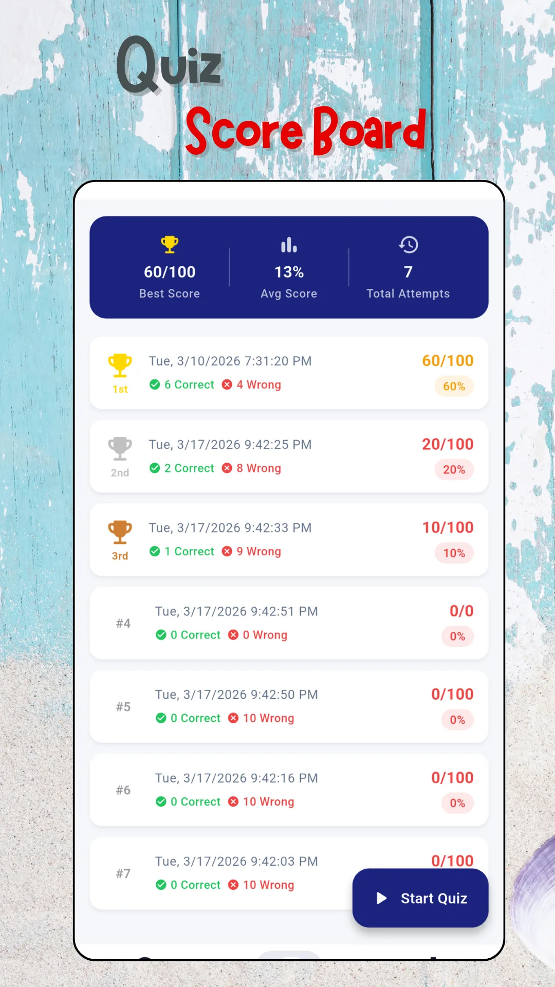
Best score, average score, total attempts and a dated record of every past round, so improvement is something you can actually see.
Newspapers and magazines
Open the papers published in that country — national, daily, regional and multicultural titles from the News Media Lists directory.
TV, radio and live TV
The television channels and radio stations that broadcast from that country, each on its own official page.
News, Wikipedia and YouTube
Current headlines, the full encyclopedia article and video about the country and its cities, all from the same profile.
Travel guide and Street View
Look around a place before you go, and read what travellers need to know about the country.
Works offline
The country database and the quiz are on your device. They work on a plane, on a train, in class or anywhere with no signal.
Nothing collected
No account, no sign‑up, no login. No personal data collected and no data shared with third parties, as declared in the Play Data safety section.
Coverage
Continents, countries and data fields
A sample of what is inside. The full database spans more than 220 countries and territories across every inhabited continent, plus Antarctica.
Continents and regions
- Asia
- Africa
- Europe
- North America
- South America
- Australia & Oceania
- Antarctica
- Northern Europe
- Western Europe
- Southern Europe
- Eastern Europe
- Northern America
- Central America
- Caribbean
- South-Eastern Asia
- Southern Asia
- Eastern Asia
- Western Asia
- Central Asia
- Northern Africa
- Western Africa
- Eastern Africa
- Middle Africa
- Southern Africa
- Melanesia
- Micronesia
- Polynesia
Countries (sample)
- United States
- United Kingdom
- Canada
- Australia
- New Zealand
- India
- Bangladesh
- Pakistan
- Sri Lanka
- Nepal
- Germany
- France
- Spain
- Italy
- Netherlands
- Austria
- Sweden
- Poland
- Portugal
- Ireland
- Russia
- Turkey
- Brazil
- Mexico
- Argentina
- Colombia
- Chile
- Bahamas
- Japan
- South Korea
- China
- Indonesia
- Philippines
- Vietnam
- Thailand
- Malaysia
- Singapore
- Nigeria
- Kenya
- South Africa
- Egypt
- Ethiopia
- Saudi Arabia
- United Arab Emirates
- Qatar
- Bahrain
- Azerbaijan
- Saint Kitts and Nevis
- Faroe Islands
- Grenada
- and 170+ more
Data fields
- Flag
- Official name
- Native name
- ISO alpha-2
- ISO alpha-3
- Numeric code
- CIOC code
- Capital city
- Continent
- Region
- Sub-region
- Population
- Population growth
- Area
- Latitude
- Longitude
- Languages
- Currency name
- Currency code
- Currency symbol
- Time zone
- UTC offset
- Calling code
- Demonym
- Land borders
- Internet domain
How it works
Three steps from install to answer
-
Find the country
Scroll the full list, filter it by continent, or type a name in the search box. No account, no setup questions, no permissions to grant.
-
Read the fact sheet
Flag, capital, population, area, currency, calling code, demonym and the rest — loaded from the device, so it appears instantly and works offline.
-
Go deeper, or test yourself
Open the country on the map, read its Wikipedia article, or step into its newspapers, TV and radio. Then take the capital quiz and watch the scoreboard move.
Audience
Who uses this app
- Students and teachers working through geography homework, class projects and revision, with or without a signal in the classroom.
- Exam candidates revising the general knowledge and world affairs sections of competitive and civil service papers.
- Travellers and backpackers checking a currency, a language, a time zone and a dialling code before they fly.
- Expats, migrants and diaspora readers who want the papers and radio from home on the same screen as the facts about it.
- Remote workers and freelancers looking up a client's time zone or calling code between meetings.
- Journalists and researchers who need a country's basic figures and its media landscape in one place.
- Quiz and trivia players drilling flags, capitals and world facts before the next round.
Questions
Frequently asked questions
What is World Countries Info & Atlas?
It is a free offline world atlas and country information app for Android, published by News Media Lists. It holds a structured fact sheet for more than 220 countries and territories — flag, capital, population, currency, languages, time zone, dialling code, ISO codes and land borders — and links each country to its own map, Wikipedia article, news, newspapers, TV channels and radio stations.
How many countries are included?
More than 220 countries and territories, covering all 195 United Nations member states plus dependencies and territories such as the Faroe Islands. They are browsable as one list or continent by continent.
Does the app work without internet?
Yes. The country database and the quiz are stored on the device, so flags, capitals, currencies, codes and quiz rounds all work with no connection. News, radio, video, maps, Street View and Wikipedia open live websites and do need one.
Is it free?
Yes. The app is free to download and use. There is no subscription and no in-app purchase; it is supported by ads.
Do I need to create an account?
No. There is no sign-up and no login. The app opens straight to the list of countries.
Does it collect my data?
No personal data is collected and no data is shared with third parties, as declared in the app's Google Play Data safety section.
Which regions does it cover?
Every country in Africa, Asia, Europe, North and South America and Oceania — from Argentina, Australia, Bangladesh, Brazil and Canada to Egypt, France, Germany, India, Indonesia, Japan, Kenya, Mexico, Nigeria, Pakistan, the Philippines, South Africa, the United Kingdom and the United States.
What information does it give about each country?
Fourteen fields per country: national flag, official name, native name, ISO short code, capital city, continent and region, sub-region, population with its growth rate, area in square kilometres, latitude and longitude, international calling code, demonym, currency with its code and symbol, and further down the profile the languages, time zone, land borders, ISO alpha-3 and CIOC codes and internet domain.
Can I read news from another country in this app?
Yes, and this is the feature that sets it apart. Every country profile has a "More about" panel with nine routes into that country's own media: street map, travel guide, YouTube, newspapers, magazines, TV channels, radio stations, ISPs and live TV. The newspaper and magazine listings come from the News Media Lists directory, so a country's national, daily, regional and multicultural titles are all there.
How does the quiz work?
Each round is ten capital city questions against a timer, marked right or wrong as you answer. A scoreboard keeps your best score, your average score, your total attempts and a dated list of every past round with its correct and wrong counts, so you can see whether you are improving.
Is this a good app for studying geography or general knowledge?
It is built for it. The reference side gives the facts in a consistent layout that is easy to memorise, the quiz rehearses them, and the scoreboard shows progress over time. Because the database is offline, it also works in a classroom, a library or anywhere the signal does not reach.
Does it work on tablets?
Yes. The app runs on Android phones and tablets, and the layout adapts to the larger screen.
Where does the country information come from?
It is compiled from public sources such as Wikipedia and other open data platforms. We work to keep it accurate but cannot guarantee every figure, and population and area figures in particular change between updates.
How is this different from a flag quiz or geography quiz app?
Those apps are games — you play a round and the facts exist to be guessed. This one is a reference first: the fact sheet is the product, the quiz is a way to rehearse it, and the media links turn a country from a set of figures into somewhere you can actually read, watch and listen to.
Publisher
About News Media Lists
News Media Lists (newsmedialists.com) is a global media directory covering newspapers, magazines, radio stations, television channels and news agencies worldwide. That directory is what sits behind the "More about" panel in this app: when you open the newspapers or TV channels of a country, you are reading the same catalogue that powers the website and the companion newspaper apps. Every entry links to a publisher's official website; nothing is republished or mirrored.
Important. This app does not host, own or produce news, broadcast or encyclopedia content. It links to publicly available websites, which open on their owners' own sites. All logos, trademarks and content belong to their respective owners. Country data is compiled from public sources and is provided without warranty of completeness or accuracy.
Report a wrong figure, suggest a country field or ask a question: [email protected]